Point of the Mountain - Draper, UT (N,S) 


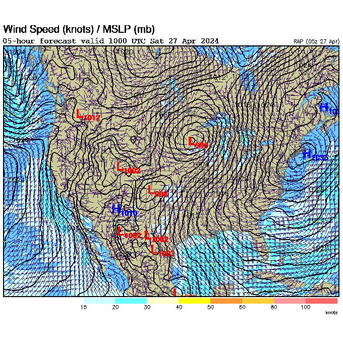
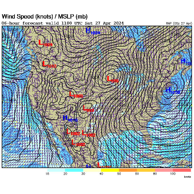
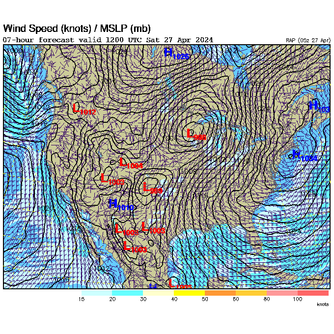
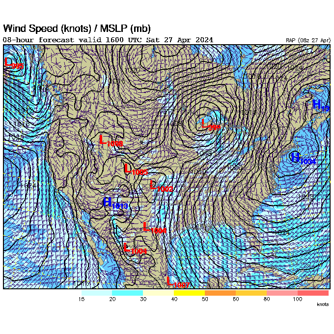
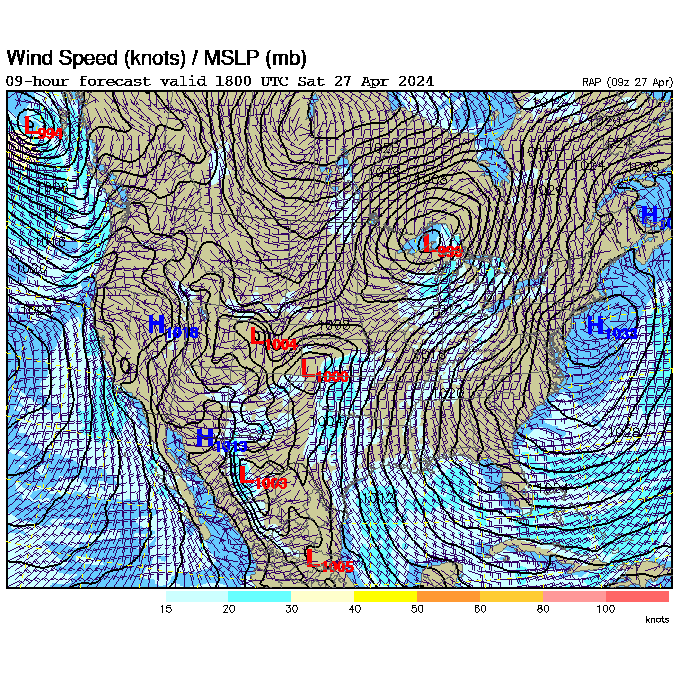
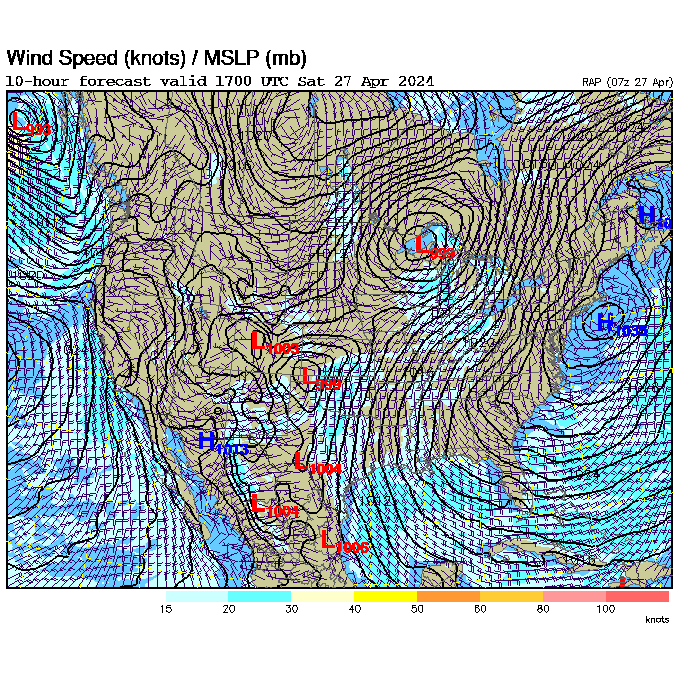
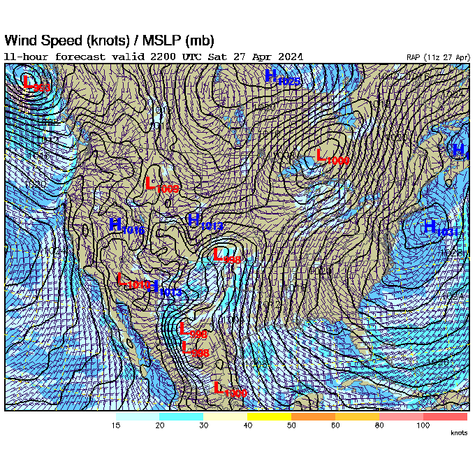
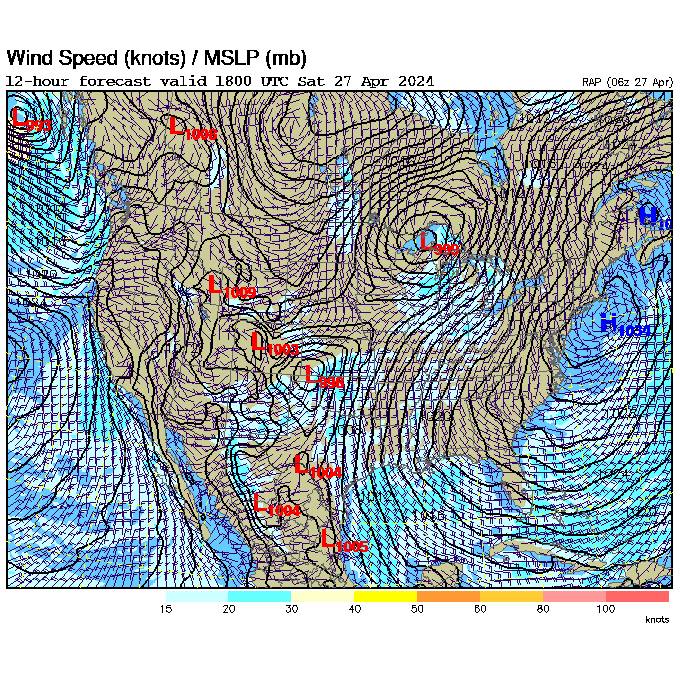
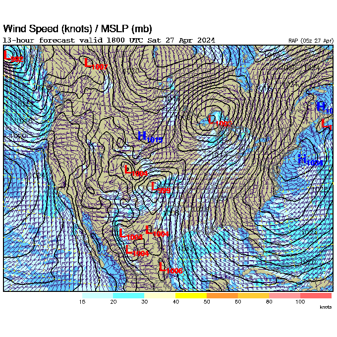
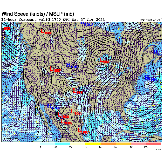
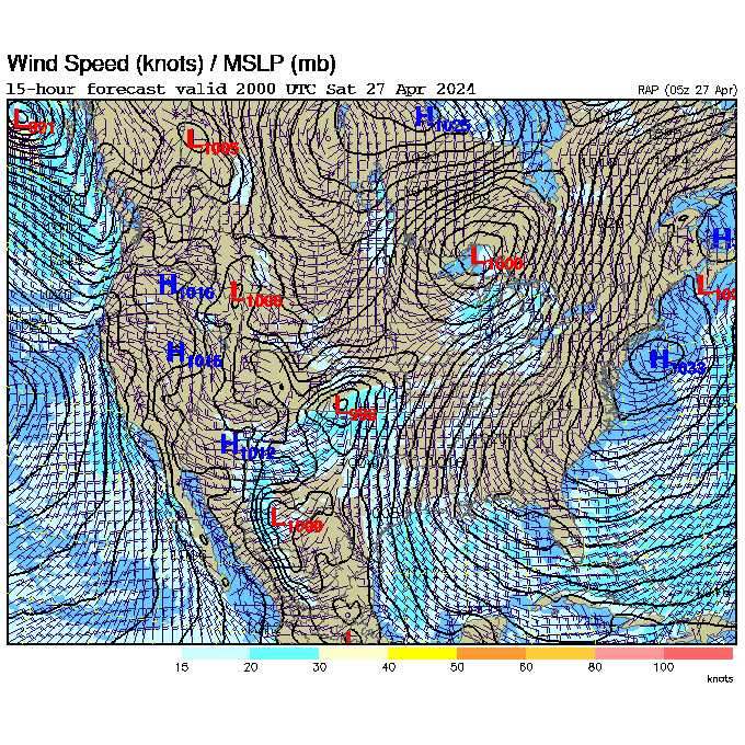
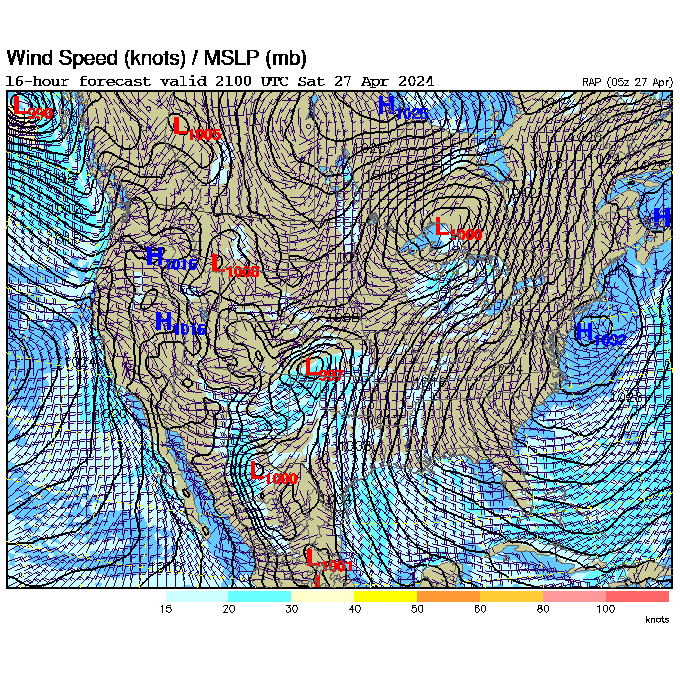
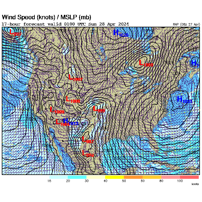
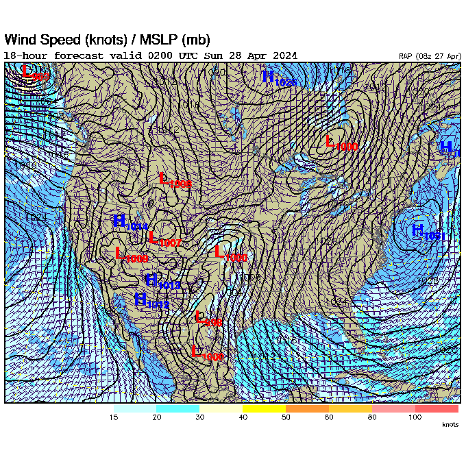
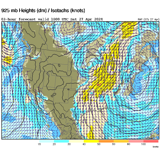
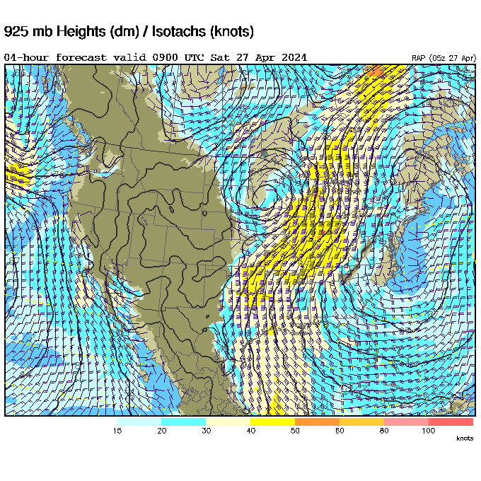
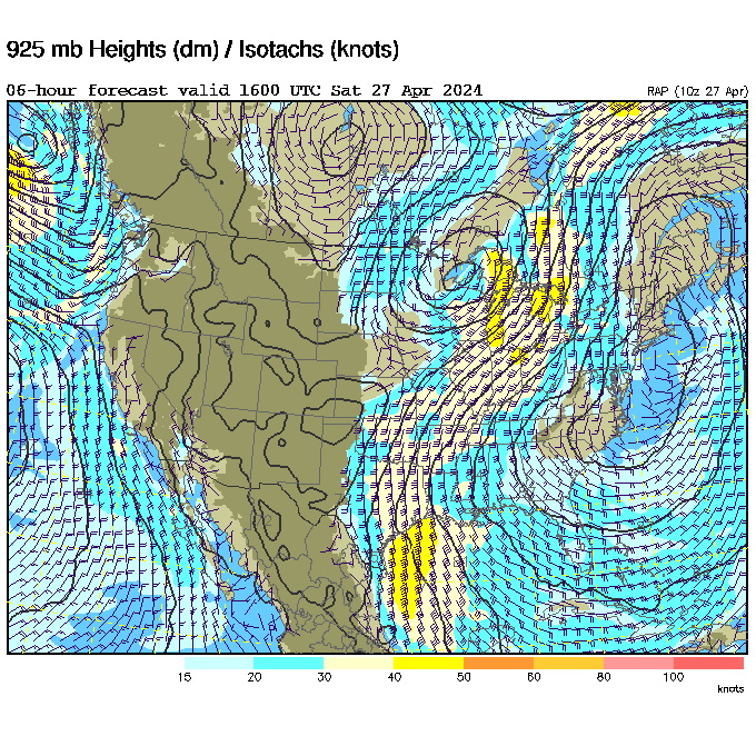
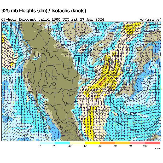
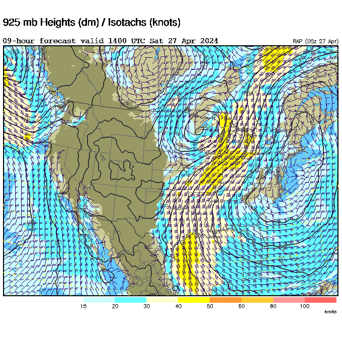
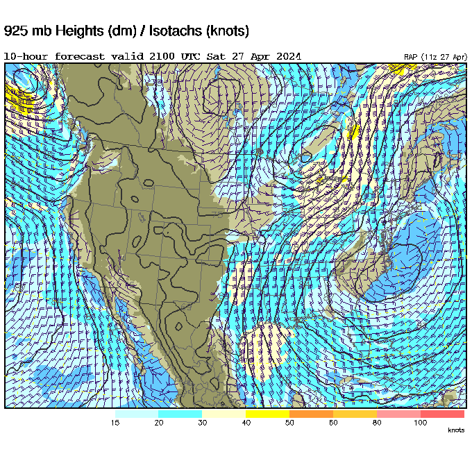
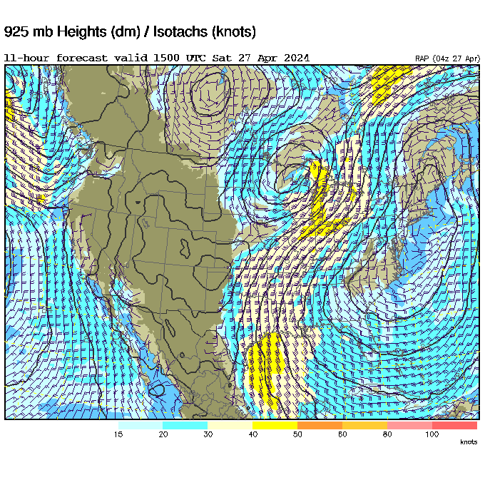
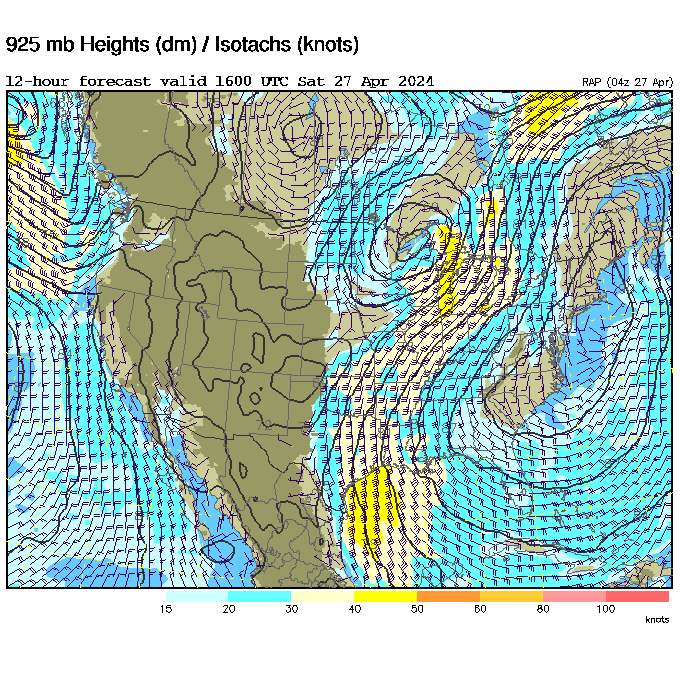
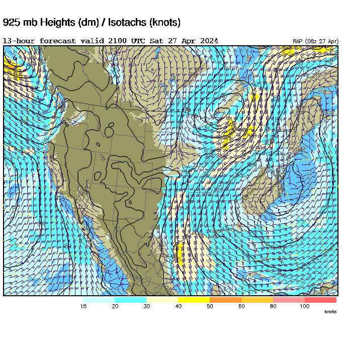
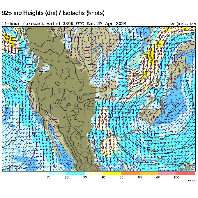
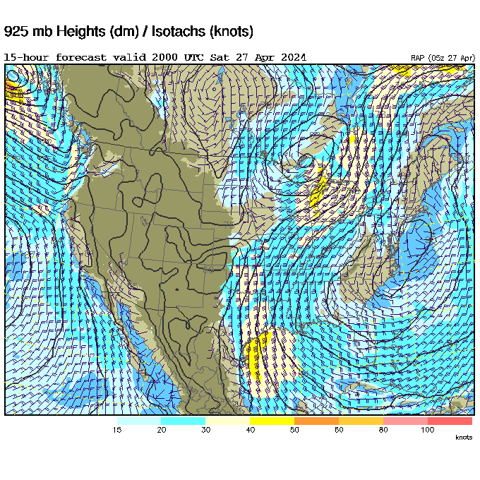
Wind map explanation: The first column lists ground level winds, the second column shows winds at 3000ft ASL.
The numbers represent hours ahead of the current time. As you scroll your mouse downward over the numbers,
you are looking into the future forecast. Note the UTC time/date on the map. Scrolling up and down will help
you make visual assuptions about the wind direction and velocity trends.
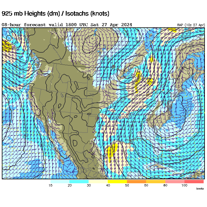
How do I interpret this data?
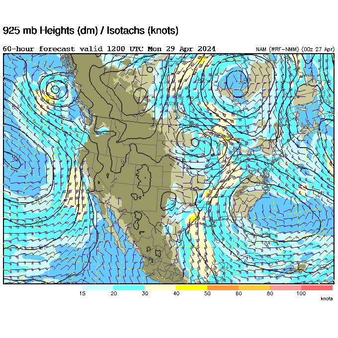
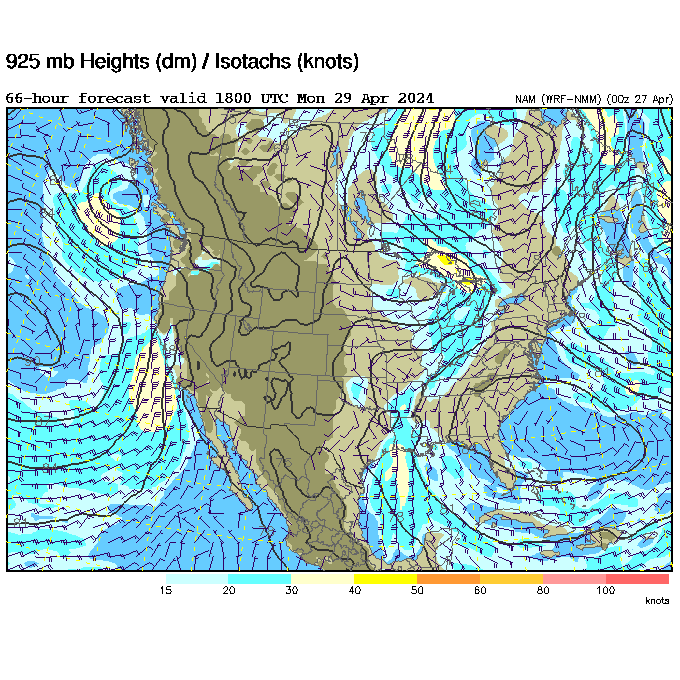
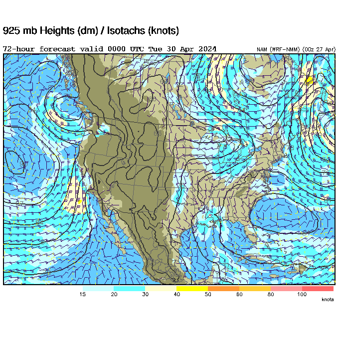
What you probably want to look at is the 3000ft (2nd column) wind direction and velocity at 1800 UTC on the day
you plan to fly. If the color is brown, then it is likely good for flying. If it is light blue (15-20 knots @3000ft)
then it might be blown out. If it is the darker blue or higher, then it is most likely blown out. This is assuming
that you plan to fly at a mountain site. For kiting and coastal soaring, the ground forecast should be sufficient.
Always use your own best judgement and common sense!
| Ground | 3000 ft | 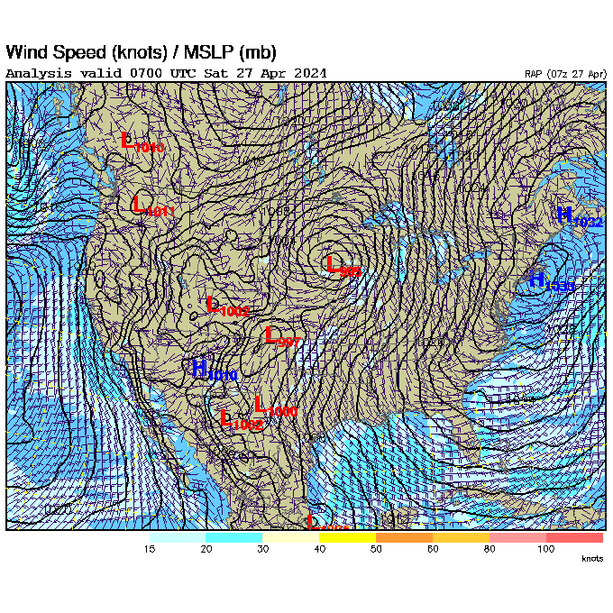 |
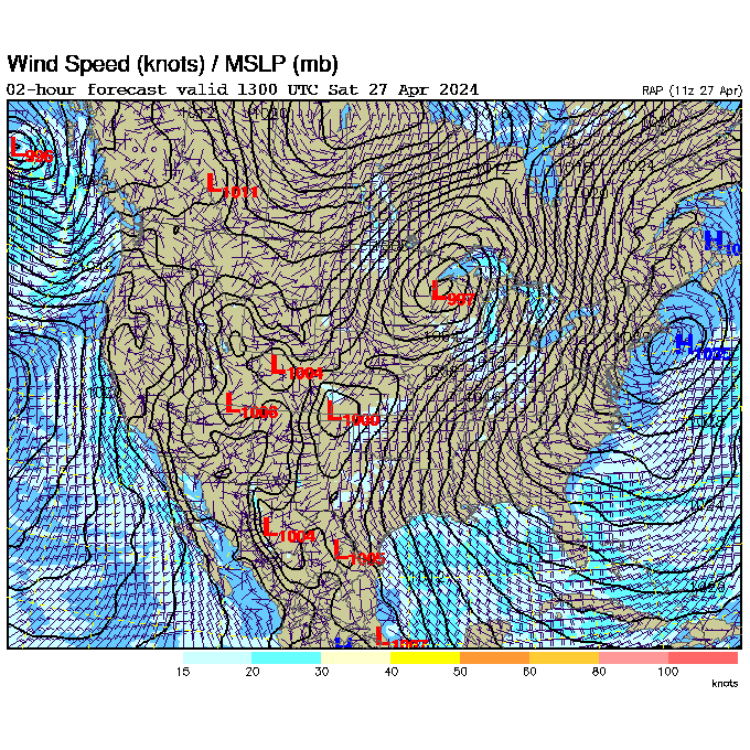
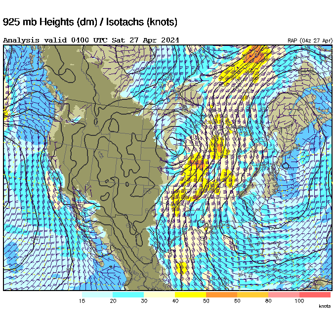
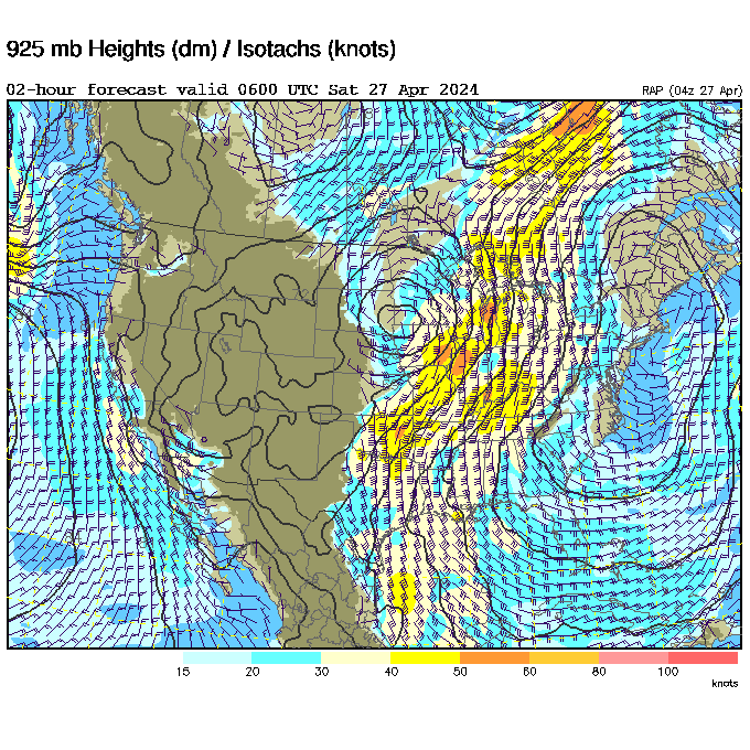
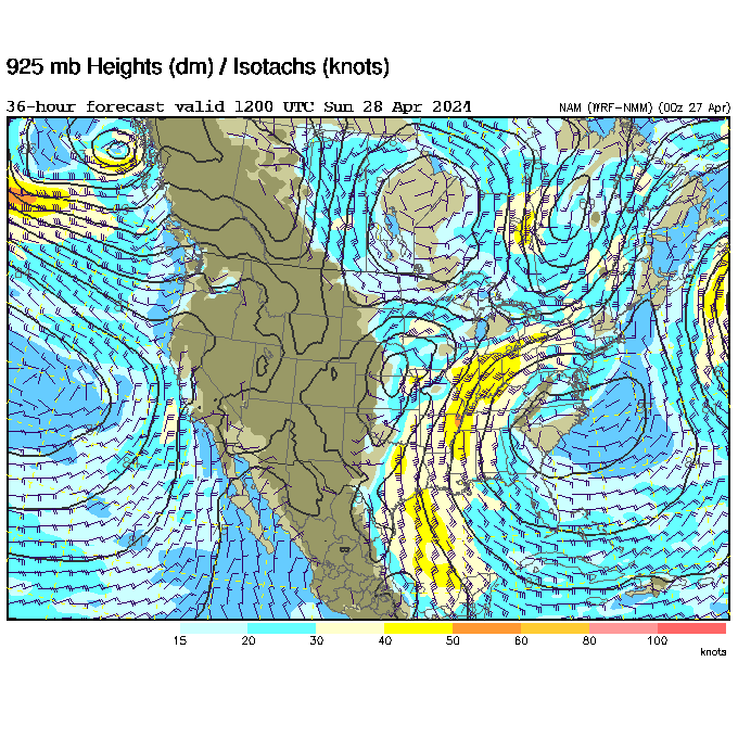
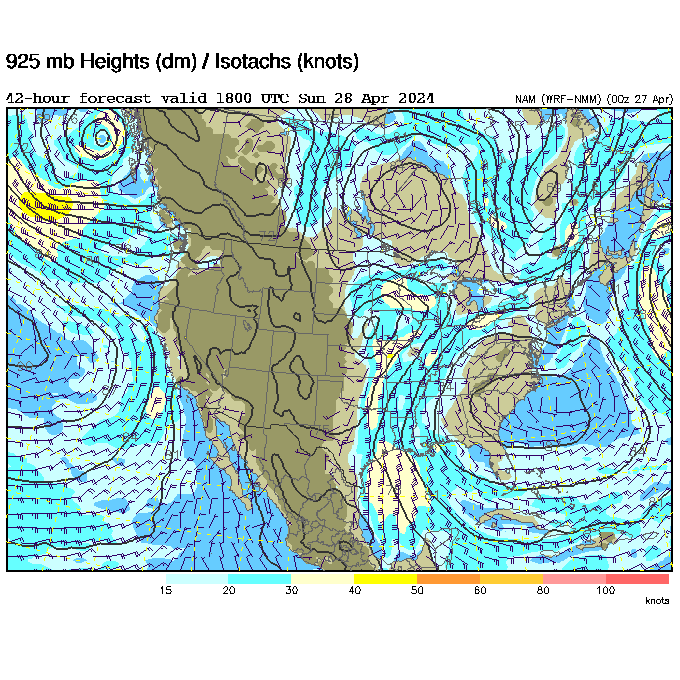
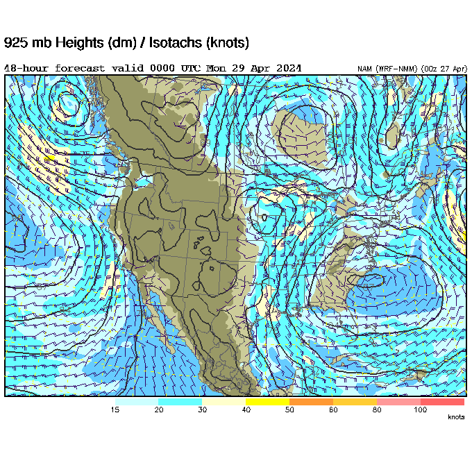
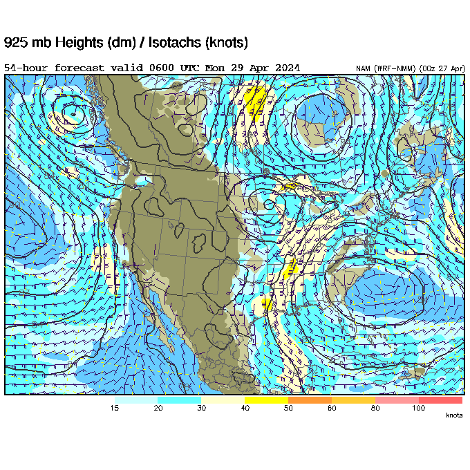
Winds aloft map may be quirky. Maps are now being pulled from University Corporation for Atmospheric Research
Need wind maps at higher elevations above 6K? Use the west coast ADDS maps: https://www.omnistep.com/soarcast/addsmobilewest.php
You may also find the GEOS satellite images useful when waiting on launch under cloud cover.
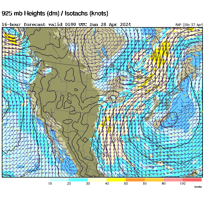
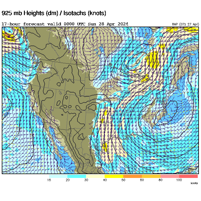
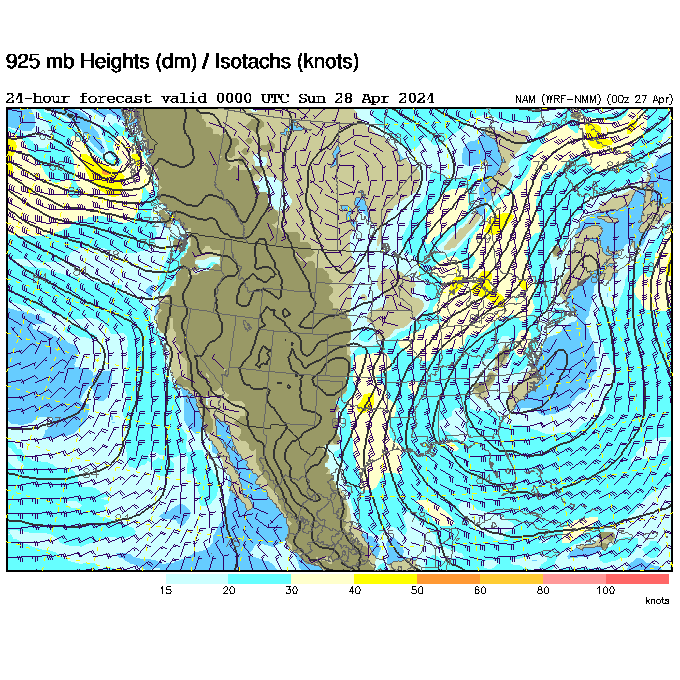
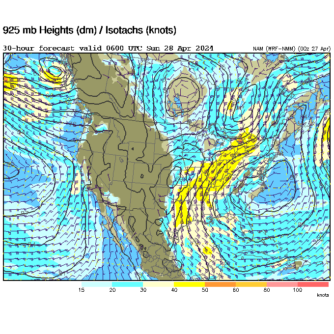
If winds look strong, check for the jetstream overhead.
Some live XC tracking sites: XC Find LiveTrack24 XContest.org